")
Pyrenean travel agency specializing in your hikes and treks in the Pyrenees, the GR10 and more
BASQUE COUNTRY: Maison IPUTXAINIA, 64220 ASCARAT
ARIEGE: 20 chemin de la montagne, 09000 FOIX
+33 (0)5 34 14 51 50 - +33 (0)6 10 97 16 54
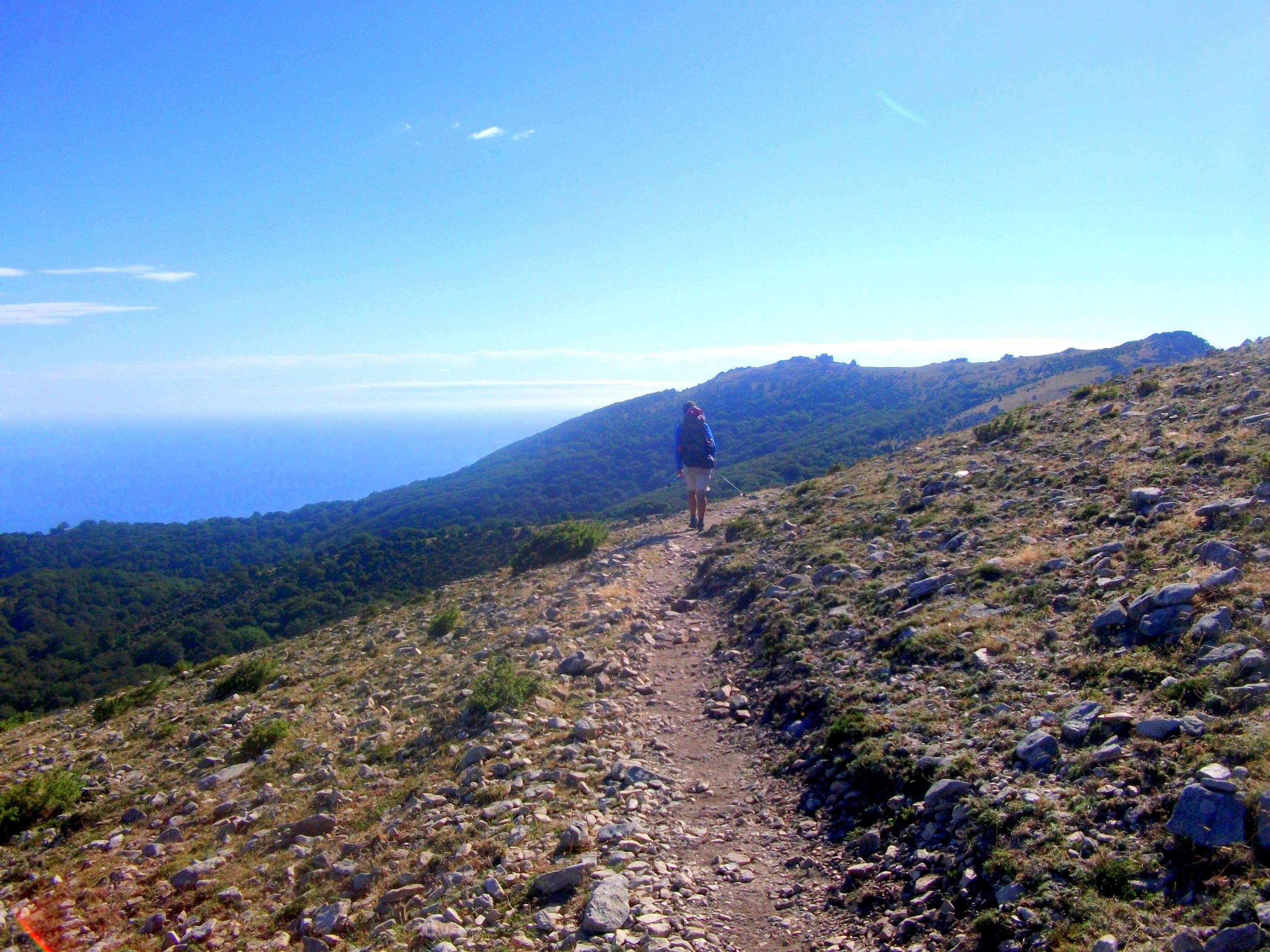
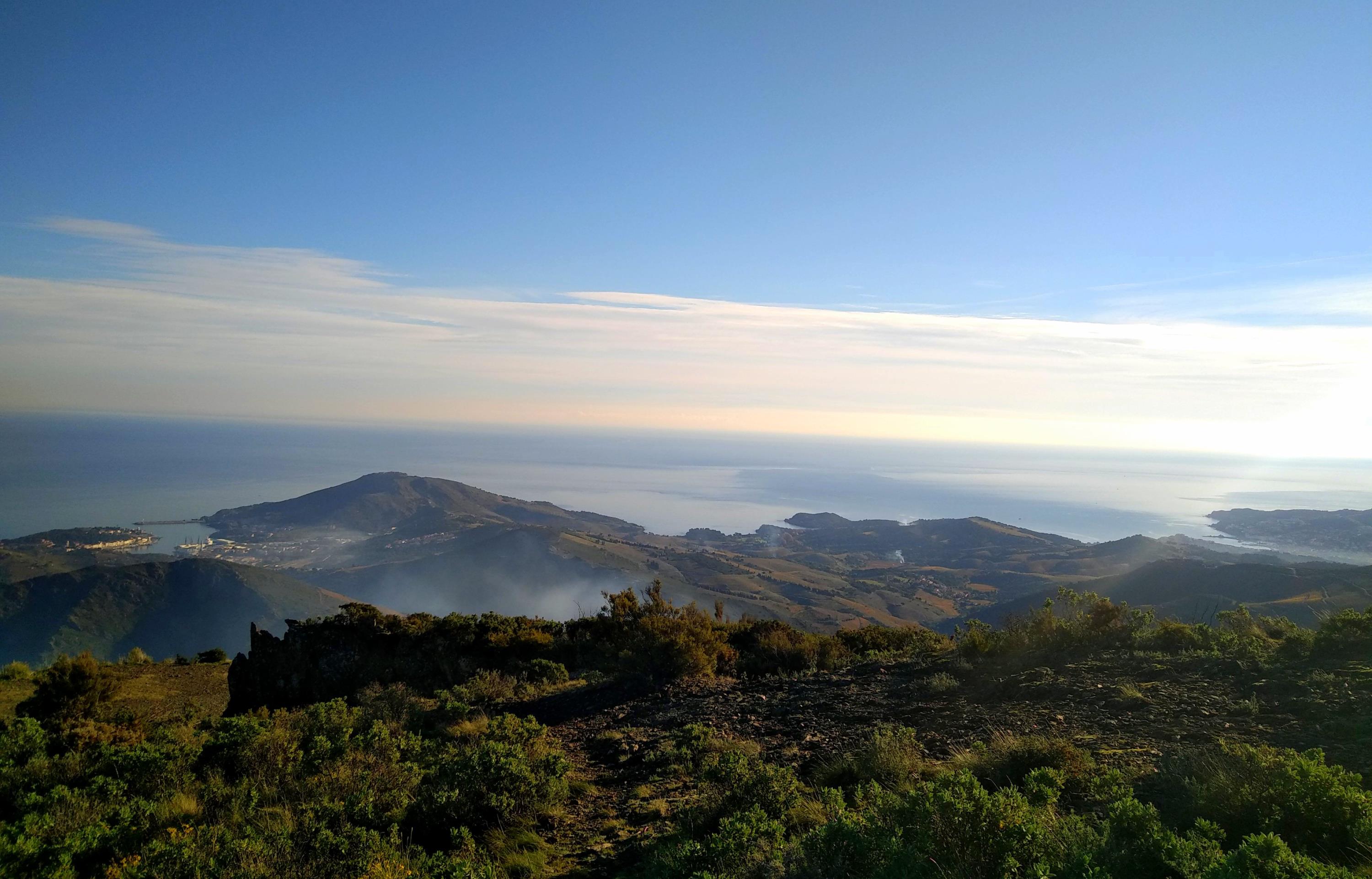
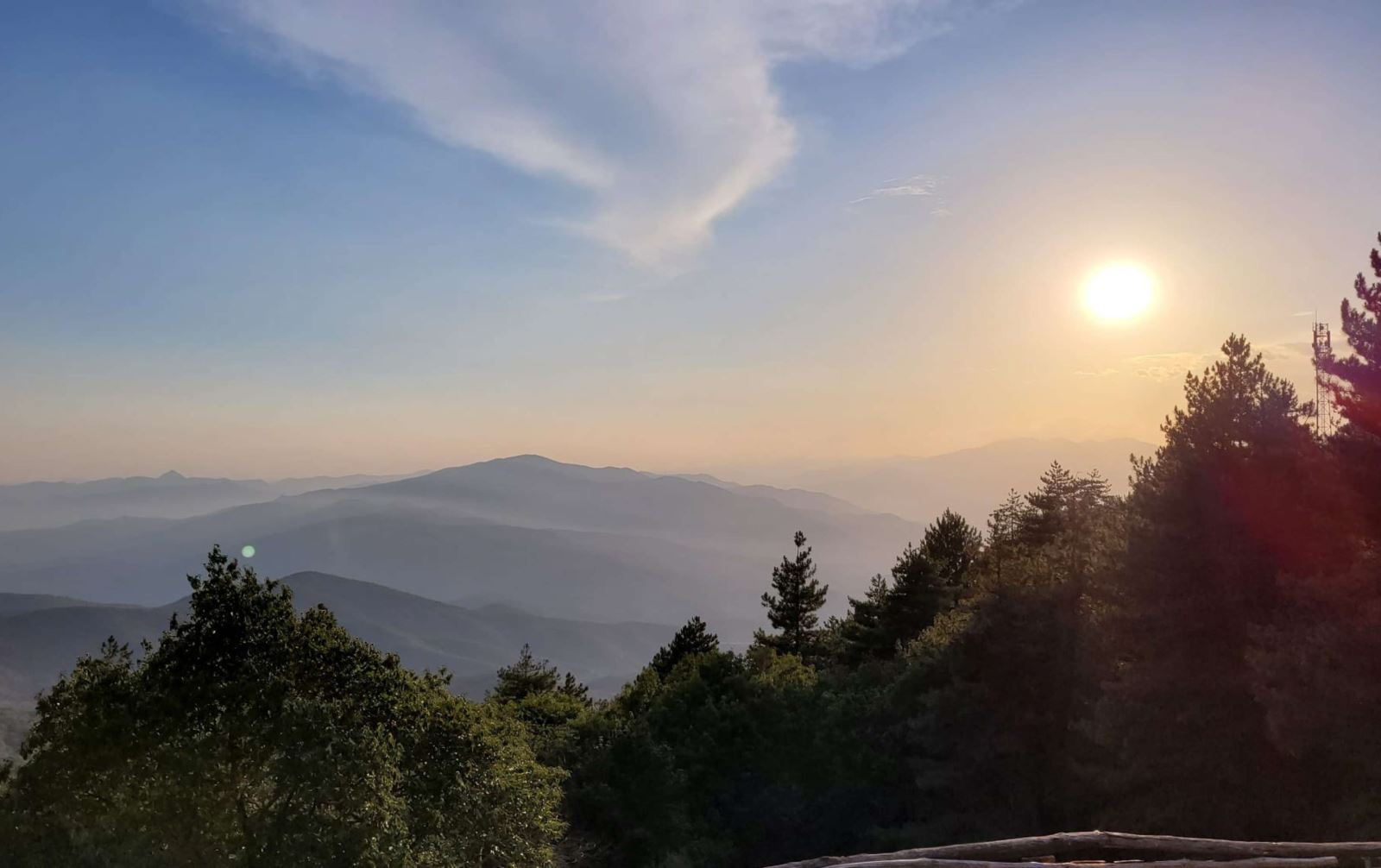
The 8th and final stage of the Pyrenees Crossing, with the famous GR10 as its guiding thread, gradually descends to the Côte Vermeille through mountains, forests, and scrubland. Right from the start, you'll encounter the Canigou Massif, the Pyrenees' last proud outcrop before meeting the Mediterranean Sea.
From Vernet-les-Bains and the Mariailles refuge, you'll circle around this emblematic mountain of the Eastern Pyrenees, a symbol of Catalan identity. Overlooking the Roussillon plain and the Mediterranean Sea from its isolated promontory, set apart from the rest of the Pyrenean range, the Pic du Canigou (2,784 m) dominates the landscape and has been aptly nicknamed the Catalan Fujiyama.
You will then follow some of the most beautiful balconies of the massif as you descend towards the Romanesque town of Arles-sur-Tech. In the heart of Vallespir, you'll approach the Franco-Spanish border at Roc de France. Finally, crossing the Mediterranean scrubland and the Albères Massif-the last promontory before the sea-your descent toward the Big Blue will be a captivating finale.
You will complete your journey by stepping onto the sands of Banyuls Bay, one of the most beautiful spots along the Côte Vermeille.
Guaranteed departure with a minimum of 4 participants.
Price: €945 per person
Supplements:
- Return transfer from Banyuls to Villefranche de Conflent/Vernet-les-Bains: €85 per person
- Additional night in Vernet-les-Bains and/or Banyuls-sur-Mer: Contact us for details
- Full-board accommodation from the picnic on Day 1 to breakfast on Day 7
- Luggage transport between accommodations, except for one night in a refuge on Day 1
- Transfers mentioned in the program
- Guidance by a certified mountain leader (BE AMM) specialized in the region
- Insurance
- Transfers not included in the program
- Visits and excursions
- €15 booking fee
- Beverages
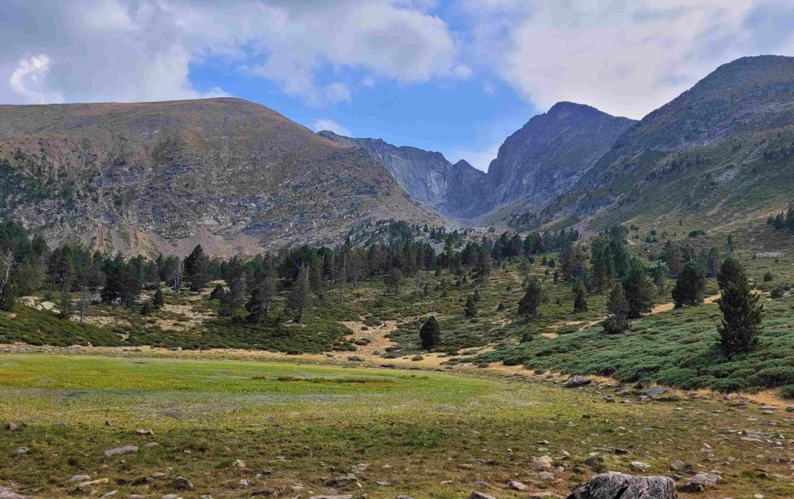
Day 1: From Col de Jou to the Cortalets Refuge
 Meet
your guide at 8 a.m. at Villefranche de Conflent train station (or
Vernet-les-Bains if you stayed there the night before) for a
transfer to Col de Jou, the starting point of the hike (20
min). This splendid site overlooks spectacular
gorges in the heart of the wild forests of the Cadi basin.
From there, the route ascends the famous Canigou, a sacred
and emblematic mountain for the Catalans, and the last
high peak of the Pyrenees. If conditions are not favorable, an
alternative route will be taken.
Meet
your guide at 8 a.m. at Villefranche de Conflent train station (or
Vernet-les-Bains if you stayed there the night before) for a
transfer to Col de Jou, the starting point of the hike (20
min). This splendid site overlooks spectacular
gorges in the heart of the wild forests of the Cadi basin.
From there, the route ascends the famous Canigou, a sacred
and emblematic mountain for the Catalans, and the last
high peak of the Pyrenees. If conditions are not favorable, an
alternative route will be taken.
Distance: 17.5 km, duration: 7h30, ascent: +1650 m, descent: -600
m
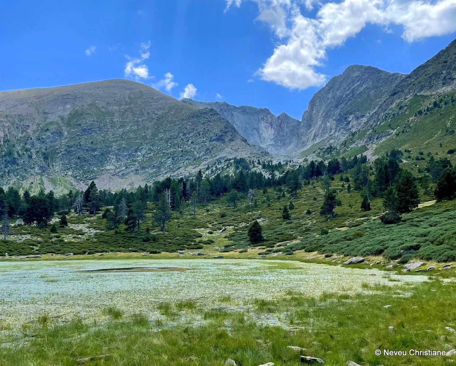
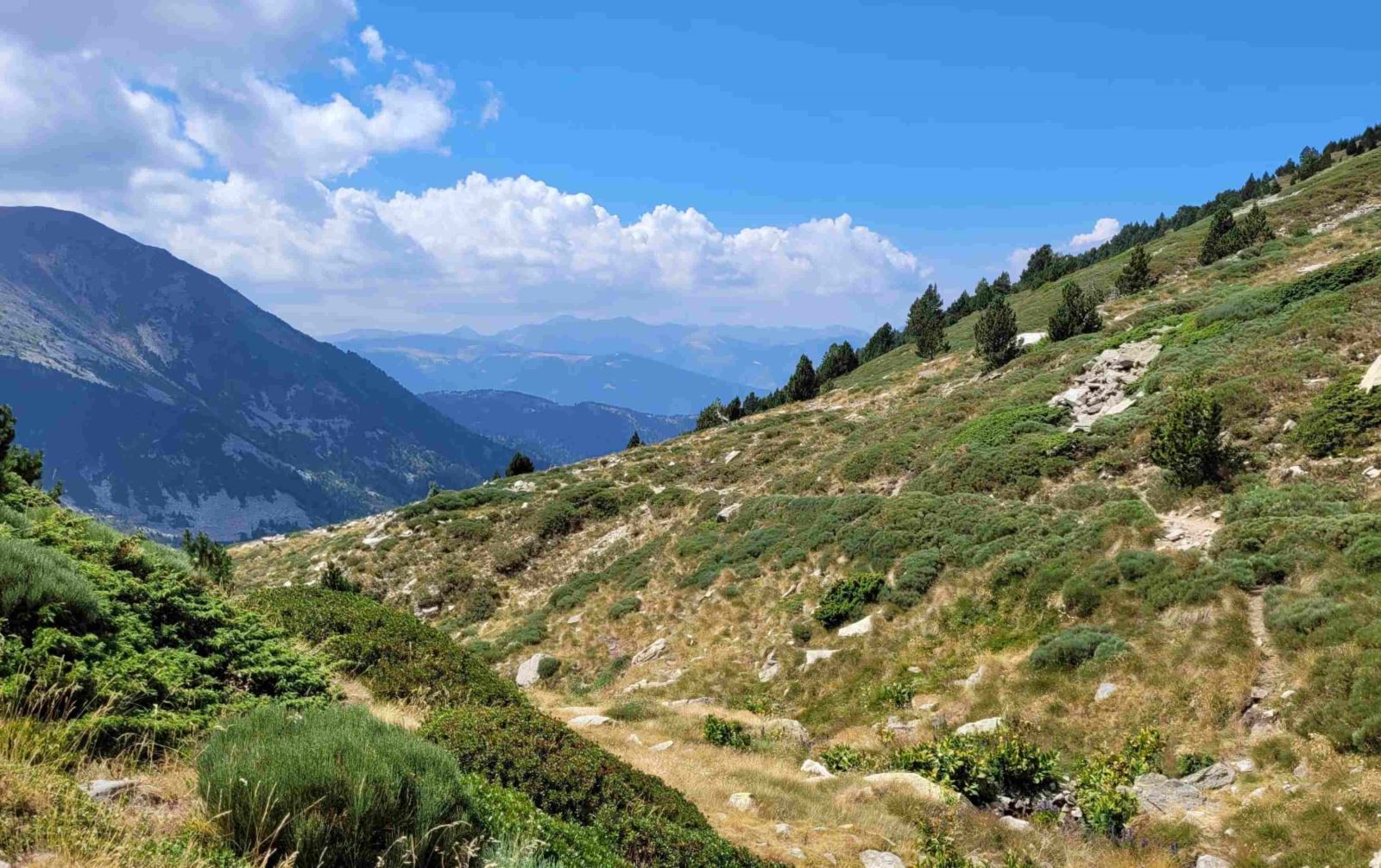
Day 2: From the Cortalets Refuge to Batère
 Leaving
the Cortalets refuge, you will follow the Canigou balcony trail for
most of the day. Along the route, you’ll discover magnificent
panoramas: from Roussillon to the Mediterranean, and from the
Corbières to the Montagne Noire, reaching as far as Sète and the
Cévennes. You’ll also encounter the different vegetation zones of
the Canigou massif, from high-altitude meadows to dense forests.
From alpine to Mediterranean levels, the diversity of landscapes is
truly exceptional.
Leaving
the Cortalets refuge, you will follow the Canigou balcony trail for
most of the day. Along the route, you’ll discover magnificent
panoramas: from Roussillon to the Mediterranean, and from the
Corbières to the Montagne Noire, reaching as far as Sète and the
Cévennes. You’ll also encounter the different vegetation zones of
the Canigou massif, from high-altitude meadows to dense forests.
From alpine to Mediterranean levels, the diversity of landscapes is
truly exceptional.
Distance: 16 km, duration: 5h30, ascent: +400 m, descent: -1050
m
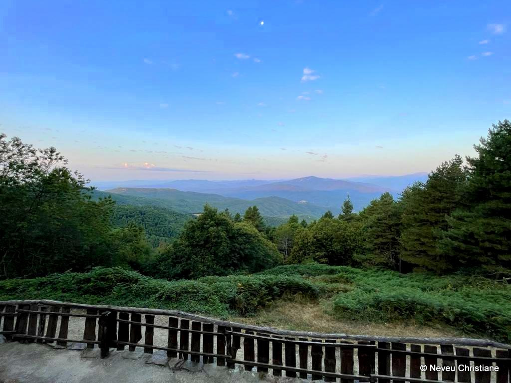
Day 3: From Batère to Amélie-les-Bains
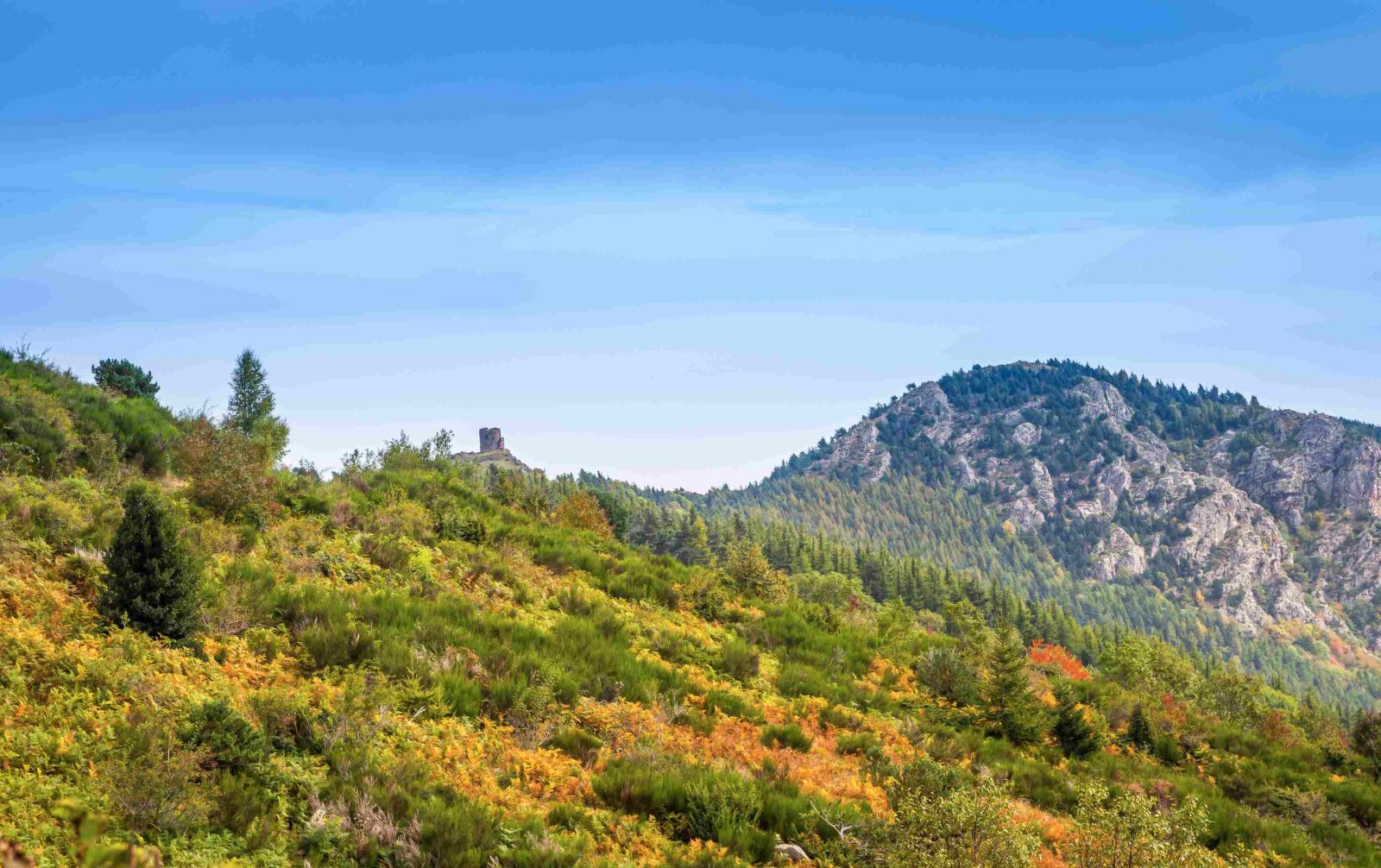 Starting
from the Batère refuge, enjoy another day of descent into the
heart of Vallespir. As you move through the
Mediterranean mountain landscape, you’ll gradually leave behind the
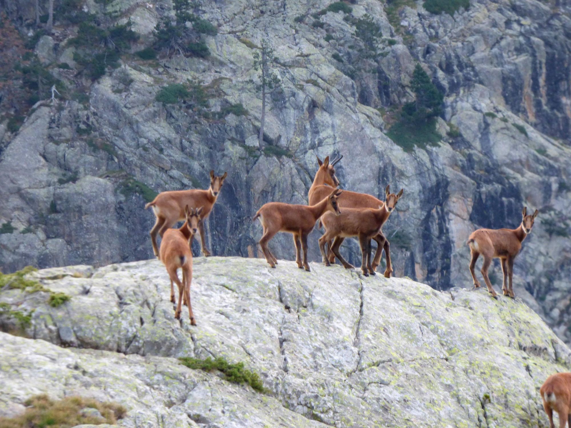
Canigou massif, which alone hosts a quarter of France’s recorded
plant species and shelters a wide variety of mountain wildlife.
Eventually, you’ll arrive at Amélie-les-Bains, a spa town in the
Tech Valley.
Starting
from the Batère refuge, enjoy another day of descent into the
heart of Vallespir. As you move through the
Mediterranean mountain landscape, you’ll gradually leave behind the
Canigou massif, which alone hosts a quarter of France’s recorded
plant species and shelters a wide variety of mountain wildlife.
Eventually, you’ll arrive at Amélie-les-Bains, a spa town in the
Tech Valley.
Distance: 16 km, duration: 5h, ascent: +50 m, descent: -1300
m
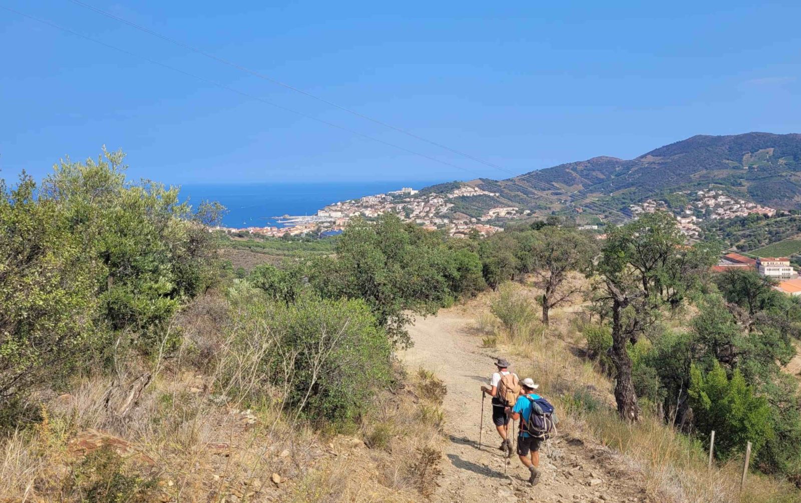
Day 4: From Amélie-les-Bains to Las Illas
 From
Amélie-les-Bains, you’ll ascend towards the Roc de France or Roc de
Frausa (1450 m), offering expansive views over Spain,
French Catalonia, and the Côte Vermeille
with the Mediterranean Sea as a backdrop. The trail continues to
the Col du Puits de la Neige and the Col des Cirères before
descending towards the charming village of Las Illas. This stage
offers contrasting landscapes and Mediterranean-influenced
vegetation.
From
Amélie-les-Bains, you’ll ascend towards the Roc de France or Roc de
Frausa (1450 m), offering expansive views over Spain,
French Catalonia, and the Côte Vermeille
with the Mediterranean Sea as a backdrop. The trail continues to
the Col du Puits de la Neige and the Col des Cirères before
descending towards the charming village of Las Illas. This stage
offers contrasting landscapes and Mediterranean-influenced
vegetation.
Distance: 18 km, duration: 7h30, ascent: +1250 m, descent: -950
m
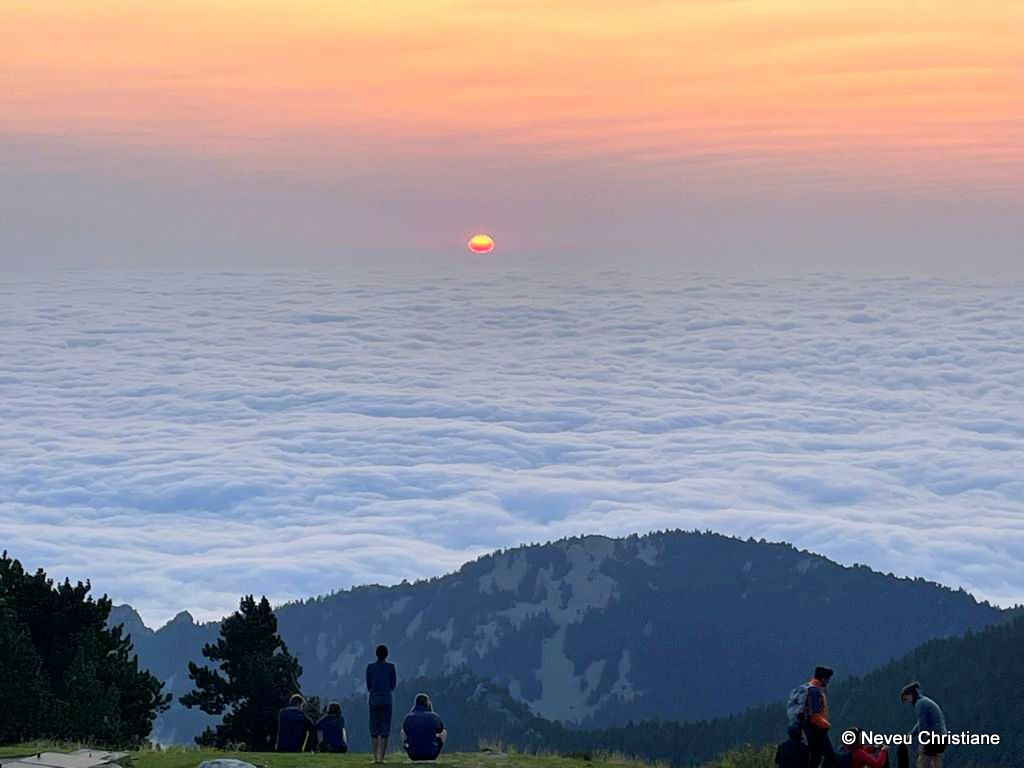
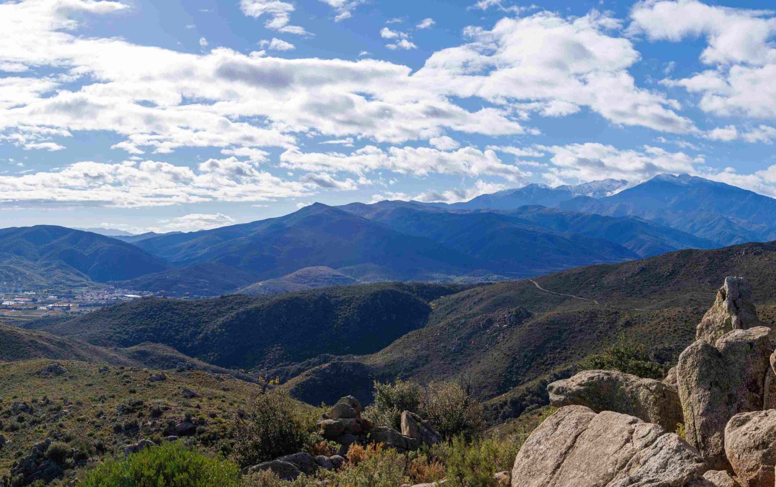
Day 5: From Las Illas to Col de l'Ouillat
 A
pivotal stage in crossing the Pyrenees, as you’ll now approach the
Albères massif, running along the French-Spanish
border to the Col du Perthus, where you’ll make
only a brief stop. The Albères are the final mountain barrier of
the Pyrenees before descending towards the Mediterranean. The
route, alternating between scrubland and forests, is gentle and
enjoyable, with contrasting landscapes and Mediterranean
vegetation. After passing Perthus, the trail ascends towards Col de
l’Ouillat for your final night before reaching the sea.
A
pivotal stage in crossing the Pyrenees, as you’ll now approach the
Albères massif, running along the French-Spanish
border to the Col du Perthus, where you’ll make
only a brief stop. The Albères are the final mountain barrier of
the Pyrenees before descending towards the Mediterranean. The
route, alternating between scrubland and forests, is gentle and
enjoyable, with contrasting landscapes and Mediterranean
vegetation. After passing Perthus, the trail ascends towards Col de
l’Ouillat for your final night before reaching the sea.
Distance: 25 km, duration: 7h30, ascent: +1000 m, descent: -600
m
Day 6: From Col de l'Ouillat to Banyuls-sur-Mer
 The
final stage before reaching the sea, starting with the summits of
Pic Neulos and Pic des
Quatre-Termes. The ultimate highlight is Pic de
Sailfort, the last promontory before the Mediterranean. At
980 meters, it offers stunning views over Banyuls-sur-Mer,
Roussillon, Spanish Empordà, and the Bay of Roses. Here, in the
heart of Mediterranean vegetation shaped by the tramontane wind,
the landscape transforms into vineyards with stone huts and
dry-stone shelters. Finally, you’ll arrive at the beach in
Banyuls-sur-Mer-marking the end of your Pyrenees crossing!
The
final stage before reaching the sea, starting with the summits of
Pic Neulos and Pic des
Quatre-Termes. The ultimate highlight is Pic de
Sailfort, the last promontory before the Mediterranean. At
980 meters, it offers stunning views over Banyuls-sur-Mer,
Roussillon, Spanish Empordà, and the Bay of Roses. Here, in the
heart of Mediterranean vegetation shaped by the tramontane wind,
the landscape transforms into vineyards with stone huts and
dry-stone shelters. Finally, you’ll arrive at the beach in
Banyuls-sur-Mer-marking the end of your Pyrenees crossing!
Distance: 23 km, duration: approx. 8h, ascent: +650 m, descent:
-1600 m
Day 7: End of the Trip in Banyuls
The programs have been designed based on the latest information available at the time of writing. Unforeseen circumstances are always possible, and situations beyond our control may alter the course of the itinerary.
Welcome
On Day 1 at 8 a.m. at Villefranche de Conflent train station (or Vernet-les-Bains if you stayed there the night before) with your guide. There will be a briefing about the trip, distribution of your picnic lunch for the day, and a transfer to Col de Jou, the starting point of the hike. The guide will contact you a few days before the trip to confirm the exact meeting location.
Dispersion
On Day 7 at your accommodation in Banyuls-sur-Mer after breakfast.
Level
Terrain
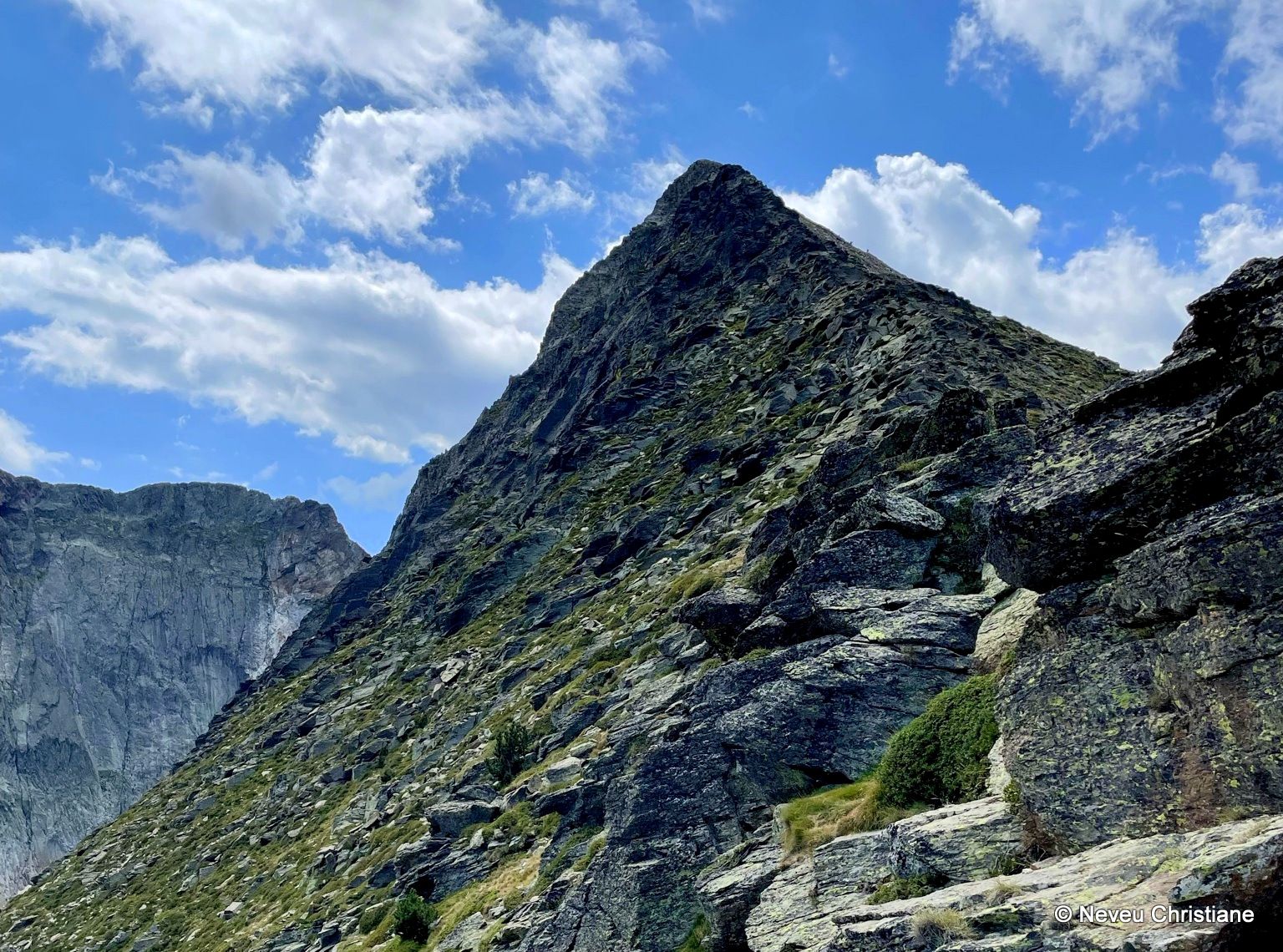
Hikes on well-marked trails; the terrain is varied but often rocky.
Level 4
For experienced hikers in good physical condition, with prior mountain hiking experience. Hikes average 7 to 8 hours per day with elevation gains of 1,000–1,300 m, on accessible trails but also occasionally on rugged terrain (scree, rocky slopes…) and sometimes unmarked paths.
Note: The indicated hiking times are approximate and reflect average walking durations, excluding break times. Depending on weather conditions, the hiking pace may vary, with ascents ranging from +300 m to +500 m of elevation gain per hour.
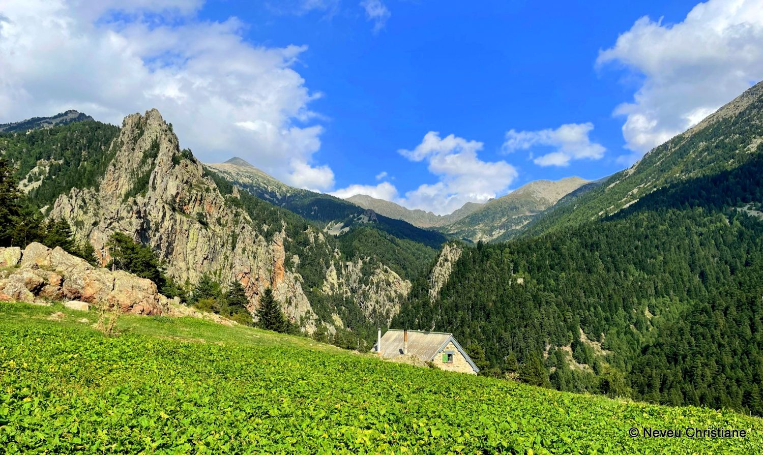
Accommodation
Full board (overnight stay + dinner + breakfast + picnic lunch)
• 2 nights in a hotel in private rooms on Days 3 and 6
• 3 nights in mountain lodges (gîtes d’étape) in shared dormitories on Days 2, 4, and 5
• 1 night in a mountain refuge in a shared dormitory on Day 1
For nights in private rooms: rooms for 2 to 3 people.
Meals
• Continental breakfast (tea, coffee, milk, bread, butter, jam)
• Evening meals often featuring local specialties, including a starter, main course, and dessert
• Picnic lunches included
• Beverages not included
Luggage porterage
During the hike, you will only carry your personal belongings for the day, your picnic, and enough water. For the night in the refuge on Day 1, you will need to carry your personal overnight essentials (sleeping bag liner, change of clothes, toiletries). Please bring an easily transportable follow-on bag (see our equipment recommendations).
Group
Group of 4 to 11 people.
Supervision
The hike is led by a certified mountain guide (BE AMM) specializing in the region.
")