

The 6th stage of the Pyrenees Crossing, with the famous GR10 as its guiding thread, leaves the Couserans region for Haute-Ariège and its deep, wild valleys that give this part of the Pyrenees its unique charm.
In the heart of the Pyrénées Ariégeoises Natural Park, the route first reaches the Vicdessos Valley via the stunning lake area of the Bassies ponds. Then, following trails with a distinct mountain character, you will arrive at the Fourcat refuge, the highest staffed refuge in Ariège, set in a breathtaking high-mountain landscape surrounded by lakes.
The route then descends in altitude, passing through forested areas dominated by high pastoral plateaus such as the Pla de Montcamp and the Beille plateau, which offer magnificent panoramic views of the Ariège mountains.
You will once again experience a beautiful mountain atmosphere as you reach the welcoming Rulhe refuge via the elegant Isards ridge, at the heart of the wild Aston massif. Finally, after a brief incursion into Andorra and the discovery of numerous stunning lakes, you will descend to Mérens-les-Vals, at the gateway to the Pyrénées-Orientales.
Guaranteed departure with a minimum of 4 participants.
Price: €925 per person
Extras:
- Return transfer from Mérens-les-Vals to Saint-Girons: €85 per person
- Additional night in Saint-Girons and/or Mérens-les-Vals: Price upon request
- Full-board accommodation from the picnic on Day 1 to breakfast on Day 7
- Luggage transport between accommodations (except for two nights in mountain refuges on Days 2 and 5)
- Transfers mentioned in the program
- Guidance by a certified mountain leader (BE AMM) specialized in the region
- Insurance
- Transfers not included in the program
- Visits and entrance fees
- €15 booking fee
- Beverages
Day 1: From the Coumebière Plateau to the Marc Hamlet
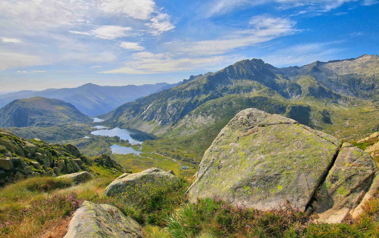 Meet
your guide in the morning at 8:00 AM in Saint Girons (or
Aulus-les-Bains if you stayed there the night before) for a
transfer to the Coumebière parking lot, the starting point of the
hike (45 minutes). From the Coumebière Plateau, you will quickly
reach the Port de Saleix (1794m), where you can
enjoy views of the Auzat and Vicdessos valleys. Higher up, the
Port de Bassies will lead you to the beautiful
lake district of the Bassies Refuge and its ponds. After passing
along these ponds, you will reach the lower part of the high
Vicdessos valley at Marc, a traditional hamlet of the Ariège
Pyrenees, at the foot of Montcalm, the last peak over 3000m heading
towards the Mediterranean.
Distance: 16 km, duration: 6 hours, ascent: +650m, descent:
-1050m
Day 2: From Soulcem Pond to the Fourcat Refuge
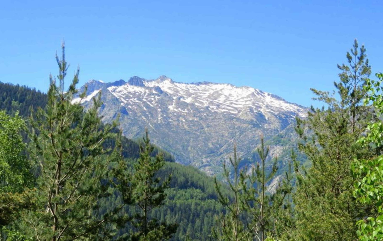 Typically
Ariège-style stage: wild, rugged, and mountainous! Indeed,
the route gains altitude and, via a steep climb, reaches the
magnificent Picot ponds, nestled in a stark rocky cirque. From
there, you still have to cross the Malcaras ridges
through a mineral landscape cluttered with boulders. Up there, the
view is stunning over the Montcalm massif, the Bassies ridges, and
the Fourcat ponds. The Fourcat Refuge, the highest
in Ariège, sits among these ponds, in the heart of an exceptional
and unmissable site.
Distance: 7 km, duration: approximately 5h45, ascent: +1200 m,
descent: -300 m
Day 3: From the Fourcat Refuge to Goulier
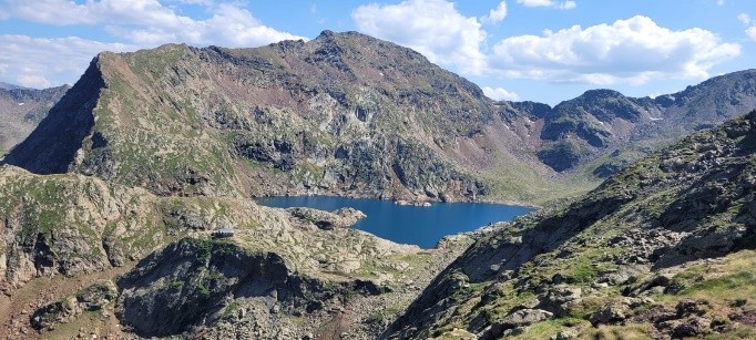 After
yesterday’s ascent, today’s stage involves descending into the
valley. You will first enjoy the early morning light over the
beautiful Fourcat ponds before beginning the descent to the
large Izourt pond, set in a lovely green valley. In 1939,
this area was the site of a major disaster that claimed the lives
of 31 people, including 29 Italian workers during the construction
of the dam. A balcony trail overlooking the lake and valley will
then take you to the village of Goulier.
Distance: 16 km, duration: 5h45, ascent: +200m, descent: -1500m
Day 4: From Gestiès to Les Cabannes
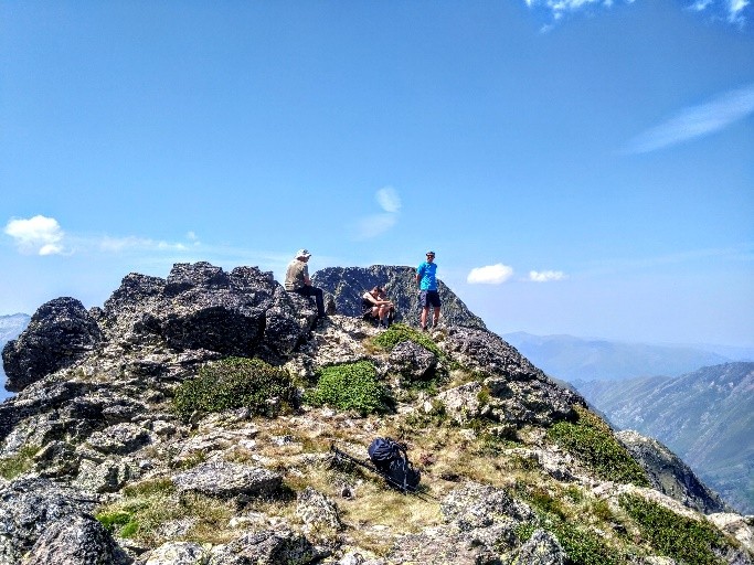 Transfer
from Goulier to Gestiès at the start of the hike (20 min). From
Gestiès, after an initial forest climb, you will reach the
panoramic Bède ridge, leading to the summit of Pla
de Montcamp, a wonderful viewpoint shaped like a vast
high-altitude plateau with 360° views over the Ariège
mountains. You will then cross the wide-open spaces of Pla
du Four, ideal for grazing livestock, as evidenced by the Courtal
Marti and Balledreyte huts. Afterward, the trail descends toward
the Ariège valley and the village of Les Cabannes.
Distance: 19 km, duration: approximately 7h45, ascent: +1100 m,
descent: -1500 m
Day 5: From Beille Plateau to the Rulhe Refuge
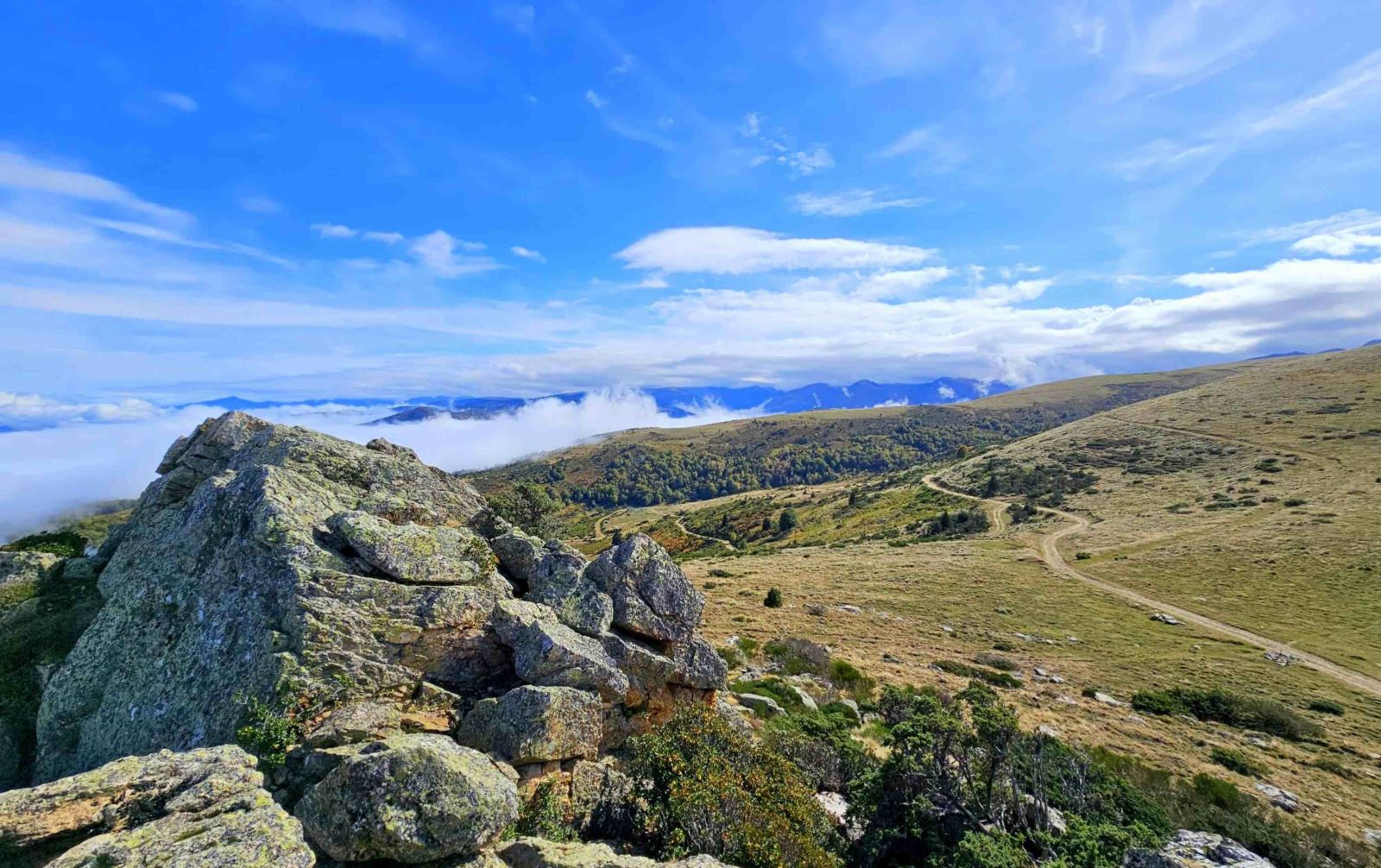 Today,
a beautiful ridge stage with open views all along the route.
Starting from the Beille Plateau, famous for its
Nordic ski resort and Tour de France passage, you will first cross
large natural spaces used by cross-country skiers in winter. Then,
you will reach the Col des Finestres and the
Col de Didorte, leading to the Isards
Ridge. This ridge will take you to the Rulhe Refuge via the
Col de Terre Nègre, offering magnificent views of the wild Aston
massif.
Distance: 14 km, duration: 5h15, ascent: +800m, descent: -400m
Day 6: From the Rulhe Refuge to Mérens
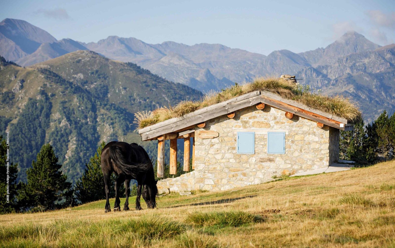 Many
lakes are on the agenda for today’s stage. From the Rulhe Refuge,
you will first discover the beautiful Estagnol and Joclar
ponds. Higher up, you will cross the Col de Juclar and
make a short foray into Andorra above the Estany Primer. Before
returning to the French side via the Col de l’Albe, with a grand
view of the many lakes and surrounding peaks. Then, the long
descent to Mérens will pass quickly with visits to the Albe,
Couart, and Comte ponds.
Distance: 16 km, duration: 6h15, ascent: +500m, descent: -1600m
Day 7: End of stay in Mérens-les-Vals
End of the stay at your accommodation after breakfast.
The programs have been created based on the latest known information at the time of writing: unforeseen circumstances can arise, and situations beyond our control may alter the schedule. On-site, our guides are the best judges and may need to modify the itinerary depending on the weather or the safety of the group.
Welcome
On Day 1 at 8:00 AM in Saint-Girons with your guide: Briefing about the trip, distribution of your picnic for the day, and transfer to the Coumebière plateau, the starting point of the hike. The guide will contact you a few days before the trip to confirm the exact meeting location.
Dispersion
On Day 7 at your accommodation in Mérens-les-Vals after breakfast.
Level
Terrain
Hiking on well-maintained trails; the terrain is varied but often rocky.
Level 4
For experienced hikers in good physical condition, with prior mountain trekking experience. Expect hikes of 7 to 8 hours per day on average, with elevation gains of 1,000 to 1,300 meters, on accessible trails but also occasionally on rugged terrain (rockslides, scree) and sometimes unmarked paths.
Note: The indicated hiking times are estimates based on actual walking duration and do not include break times. Depending on weather conditions, the hiking pace may vary, ranging from +300m to +500m of ascent per hour.
Accommodation
Full board (overnight stay + dinner + breakfast + picnic)
4 nights in a gite d’étape with shared dormitories on days 1, 3, 4, and 6
2 nights in a mountain refuge with shared dormitories on days 2 and 5
Private room option: Rooms for 2 to 3 people available.
Meals
- Continental breakfast (tea, coffee, milk, bread, butter, jam)
- Dinner typically featuring local specialties, including a starter, main course and dessert
- Picnic lunches included
- Drinks not included
Luggage porterage
During the hike, you will only carry your personal items for the day, including your picnic and a sufficient water supply. Exception: On nights spent in mountain refuges (Days 2 & 5), you will need to carry your overnight essentials (sleeping liner, change of clothes, toiletries).
A follow-up bag should be easily transportable (see our equipment recommendations).
Your Luggage Service
Your luggage must be dropped off at the reception of your accommodation no later than 9:00 AM. It will be delivered to your next accommodation before 5:00 PM. Only one piece of luggage per person will be accepted. For logistical reasons, we ask that you limit the weight of your luggage to a maximum of 15 kg and avoid hard-shell suitcases: our logistics team and transport partners handle dozens of bags per day, often on staircases. The transporter may charge an additional fee at the end of the hike if the luggage is too heavy or too numerous.
Group
Group of 4 to 11 people.
Supervision
The trek is led by a certified mountain guide (BE AMM) specialized in the region.